
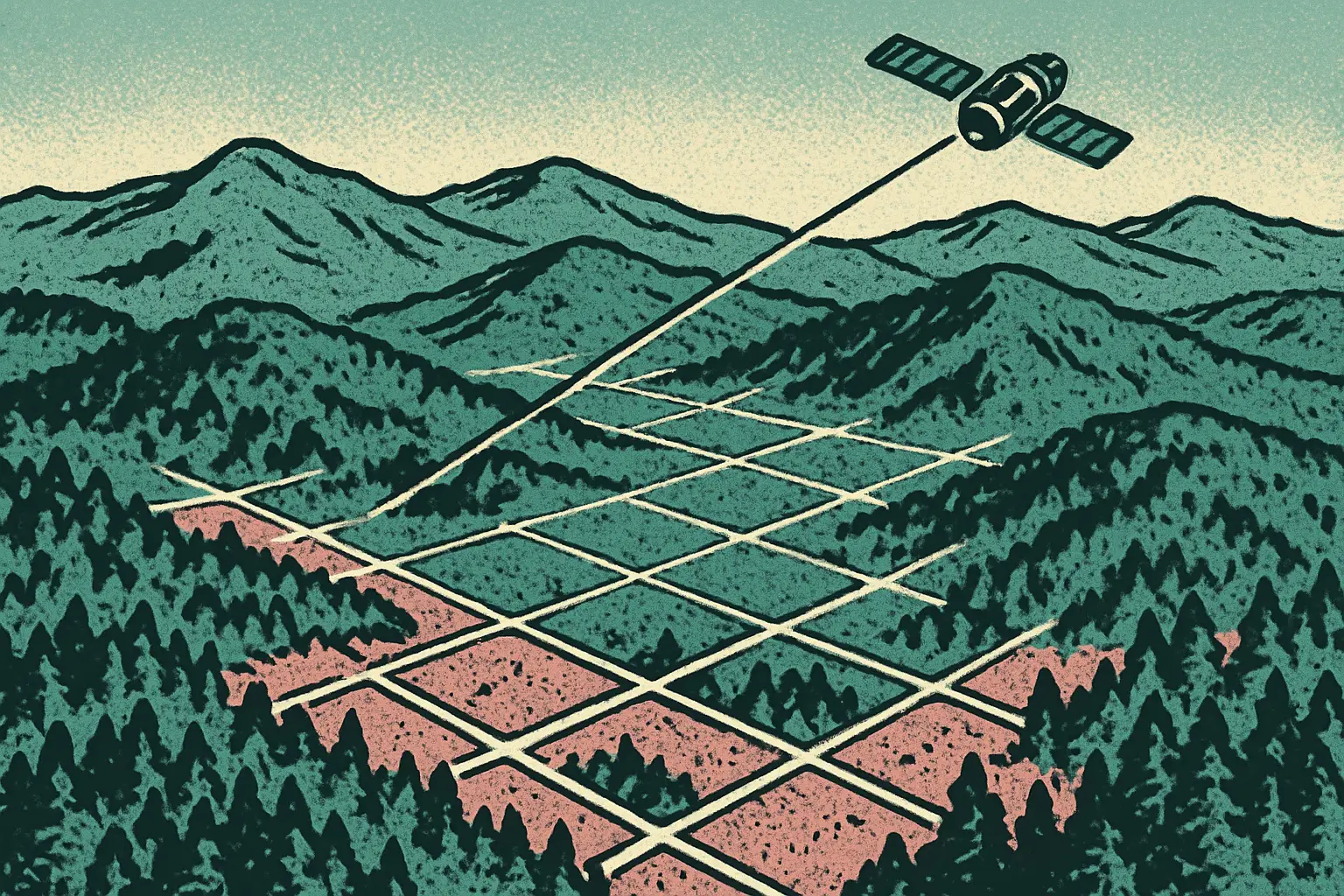
OlmoEarth Cuts Wildfire Risk Mapping to 30 Hours
Ai2's OlmoEarth Platform mapped North American wildfire risk in 30.5 hours instead of 4,737, a 155x speedup at fractions of a cent per square km.

Continent-Scale Inference, Priced Like a Rounding Error
The Allen Institute for AI published details of the OlmoEarth Platform on July 28, 2026 — the infrastructure layer that runs Ai2's Earth observation foundation models at continental scale. The number that makes the case is from a North America wildfire-risk run: an estimated 4,737 serial compute hours compressed into roughly 30.5 hours of wall-clock time, a 155x speedup, at a cost the team describes as fractions of a penny per square kilometer.
- Models pretrained on roughly 10 TB of multimodal satellite data, spanning optical, radar, and time-series imagery
- A North America wildfire-risk run peaked at ~19,600 CPUs and 994 GPUs in parallel, sustaining over 168 GB/s of network throughput
- 4,737 estimated serial compute hours reduced to ~30.5 wall-clock hours — a 155x speedup at fractions of a cent per square kilometer
- Imagery pulled from AWS Open Data, Google Cloud, USGS, Copernicus, NASA/ASF, and Microsoft Planetary Computer, indexed across Sentinel-1, Sentinel-2, Landsat, and NISAR
Why the Plumbing Is the Product
There is a familiar shape to Earth observation projects: a strong model, a convincing demo over one region, and then a quiet stall when someone asks for the whole continent. The model was never the bottleneck. The bottleneck is that satellite archives live across half a dozen providers with different formats and access patterns, scenes have to be found before they can be read, and the read itself has to sustain enough throughput to keep thousands of GPUs from idling.
OlmoEarth's answer is to treat that as the engineering problem it is. The platform maintains its own metadata index of satellite scenes so queries resolve without hammering each provider's catalog, then fans work out across a large heterogeneous fleet. Sustaining 168 GB/s while nearly a thousand GPUs stay fed is an I/O achievement more than a modeling one, and it is exactly the part that usually goes unbuilt.
What Can You Actually Map With It?
The applications Ai2 highlights are the ones where a map that is a year old is not much use: deforestation monitoring, food security assessment, and wildfire risk. All three share a property that makes them a poor fit for conventional workflows — the answer needs to cover an enormous area and needs to be current, and those two requirements have historically traded against each other.
Dropping the cost to fractions of a cent per square kilometer changes which questions are askable. At that price, mapping a continent is not a funded project with a proposal attached; it is something an analyst can re-run when new imagery lands. That shift from campaign to routine is usually where a capability starts producing results nobody planned for.
Who Is This Built For?
Ai2 is explicit that the target users are governments, NGOs, and mission-driven organizations — the groups that need continent-scale environmental monitoring and generally do not have a cluster of 994 GPUs sitting idle. That framing matters, because the constraint for a conservation NGO has never been ambition. It has been that the compute and the data engineering required to answer their question at the scale their question actually lives at were out of reach.
This lands in a good week for the open end of the field, following the run of open-weight releases we have tracked in our AI coverage, including Moonshot's 2.8-trillion-parameter Kimi K3. The pattern is the same in both cases: capabilities that used to be internal to a well-resourced lab becoming something a smaller team can pick up and run.
The Foundation Model Angle
Pretraining on roughly 10 TB of multimodal satellite data is what lets one model serve wildfire risk, deforestation, and crop monitoring rather than requiring a bespoke model per task. Earth observation is unusually well suited to the foundation model recipe — the imagery is abundant, consistently formatted, continuously refreshed, and largely public — and OlmoEarth is a good demonstration that the recipe holds outside of language and general vision.
For teams weighing what it takes to run inference at this scale, the honest read is that the models are the easy part now. The index, the throughput, and the scheduler are the work. Ai2 building that layer and describing how it performs is a useful contribution regardless of which foundation model you eventually point at your own region.
Sources: Ai2 on Hugging Face — July 28, 2026; Hugging Face Blog — July 2026.
More AI Stories

Gemini 3.8 Live Adds Reasoning to Real-Time Voice AI
Google's new Gemini 3.8 Live models reason mid-conversation across 97 languages and top the speech quality index at 82.6. Here is what changes.

Perplexity Portable Computer Runs Local AI on Windows
Perplexity's on-device agent now runs on Windows PCs with 24GB+ RTX GPUs, keeping the model, harness, orchestrator and scheduler off the cloud.
Google AI Hits 300 Languages, Covering 86% of People
Google says its products now work in 300+ languages for 7 billion people, backed by open speech datasets covering 109 Indian and 27 African languages.